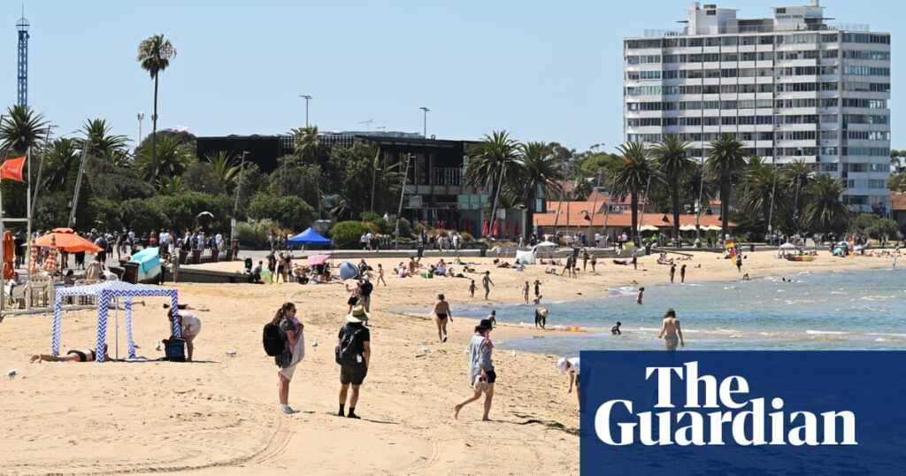
Much of south-east Australia will swelter through a heatwave over the weekend that is expected to exceed 40C in some places, bringing extreme fire danger before a cool change comes through.
Melbourne was expected to peak at 38C on Saturday, reaching 37C on Sunday and dropping to 22C by Monday as the cool change brings widespread showers.
Farther inland, temperatures could reach the low 40s through northern Victoria and along the Murray River at the weekend. In Victoria, Mildura could reach 41C on Saturday and Sunday, while Shepparton was forecast to hit 40C on Sunday.
In Sydney, the city has a forecast maximum of 29C on Saturday, climbing to 34C on Sunday and 35C on Monday. Penrith is set to reach 39C on Sunday and 40C on Monday, with an evening thunderstorm expected. Blacktown could reach 38C on Sunday and 39C on Monday.
Murray Bridge and Tailem Bend in South Australia were forecast to reach 40C on Saturday, and Barmera could reach 42C on Sunday.
Jonathan How, a forecaster with the Bureau of Meteorology, said residents in South Australia, Victoria, Tasmania, NSW and the ACT could expect a run of warm days and nights and warned fire dangers could reach extreme in some areas – including the Grampians national park, where a bushfire continues to burn.
“Those that are elderly [and] a bit more vulnerable can struggle a little bit, so it’s a reminder for everyone across south east Australia to stay cool over the next couple of days,” How said.
A cool change is forecast to hit Sydney on Tuesday, he added, bringing temperatures in the city down to 25C along with showers.
Western inland NSW, including the Riverina region, and eastern South Australia were expected to reach the low 40s throughout the heatwave.
Adelaide was expected to reach 36C on Friday and Saturday, and a milder 33C on Sunday, before showers on Monday bring the maximum down to 25C.
Murray Bridge and Tailem Bend were forecast to reach 40C on Saturday, while Barmera could reach 42C on Sunday.
In NSW, Hay was forecast to reach 42C on Saturday. Deniliquin and Corowa were set to reach 41C, and Griffith 40C.
Temperatures in Canberra could reach 34C on Saturday and 35C on Sunday, with showers in the evening. Monday is forecast to bring a storm, with a top of 34C. By Tuesday, the temperature is set to drop to 20C.
Hobart was set to peak at a milder 28C on Saturday, dropping back to a maximum of 22C by Sunday, with showers also forecast.
How said the fire danger would begin increasing for all of Victoria and most of South Australia, along with eastern Tasmania and southern NSW.
after newsletter promotion
On Saturday morning, State Control Centre spokeswoman Reegan Key described the fire risk as “escalating”, adding: we’re just looking at some of the numbers for extreme fire risk, especially around greater Melbourne”.
“We’re likely to have extreme fire risk around greater Melbourne [on Sunday], also in the Mallee and the Wimmera.”
Extreme fire danger is forecast for the Wimmera region in Victoria, which includes the Grampians national park where multiple bushfires continue to burn. It was started by a lightning strike on 16 December and has scorched more than 76,000 hectares (188,000 acres) since – equivalent to the size of Singapore – with four houses and several other buildings lost in recent weeks.
Key said the forecast mid to late-afternoon wind change and potential thunderstorms in the Grampians were concerning, along with the health risks of “sticky” conditions across the state.
“Apart from the hot, heat of the day, that’s a tricky period that firefighters are looking at,” she said.
“Across the state, we can have starts at any time and we are expecting to see some lightning into this evening and potentially isolated through tomorrow, so we can have fires at any time.”
The Bureau of Meteorology issued a heatwave alert for the state’s north, central areas and east, with an extreme alert for far-eastern Gippsland including Mallacoota.
The Mount Lofty Ranges in South Australia also had an extreme fire danger rating for Saturday.
High fire dangers would continue for both states, and parts of NSW – including Sydney – on Sunday, with “fairly unsettled conditions”. How said there was the change of dry lightning, bringing the potential of new fire ignitions.
“But then the we do see a proper cool change coming through on Monday,” he said. “That will bring a band of showers, more thunderstorms, and it is looking much cooler behind that into the new week.”
– With Australian Associated Press

